
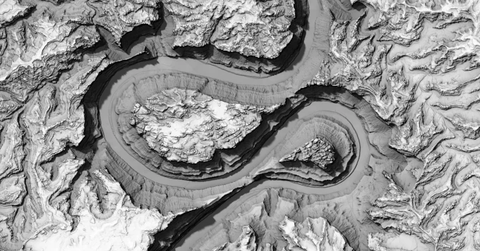
Finally added hypsometric tinting (color by elevation) to my terrain map with physically accurate self-shadowing, data from @mapterhorn.com@bsky.brid.gy. Here it is compared with satellite imagery from Google Maps. Color helps a lot! Explore it live here: rreusser.github.io/notebooks/li... #maps
0 Boosts
0 Likes
Video export why not
Last one for now, this time Mount Saint Helens composited with Sentinel-2 cloudless mosaic.

Subtle, but used the terrain openness (i.e. ambient occlusion) to perturb the color sample and add more structure.