

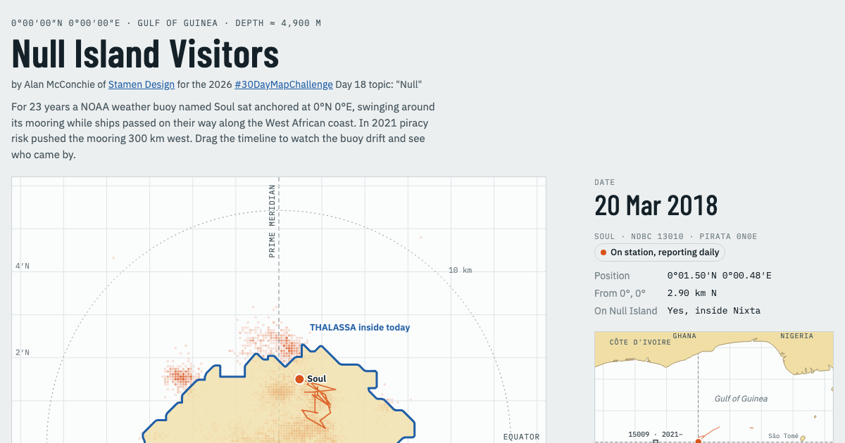
For the #30DayMapChallenge Day 18: "Null", we're visiting #NullIsland, the made-up place at 0°N 0°E where bad geodata ends up. Turns out there are quite a few real visitors, too:
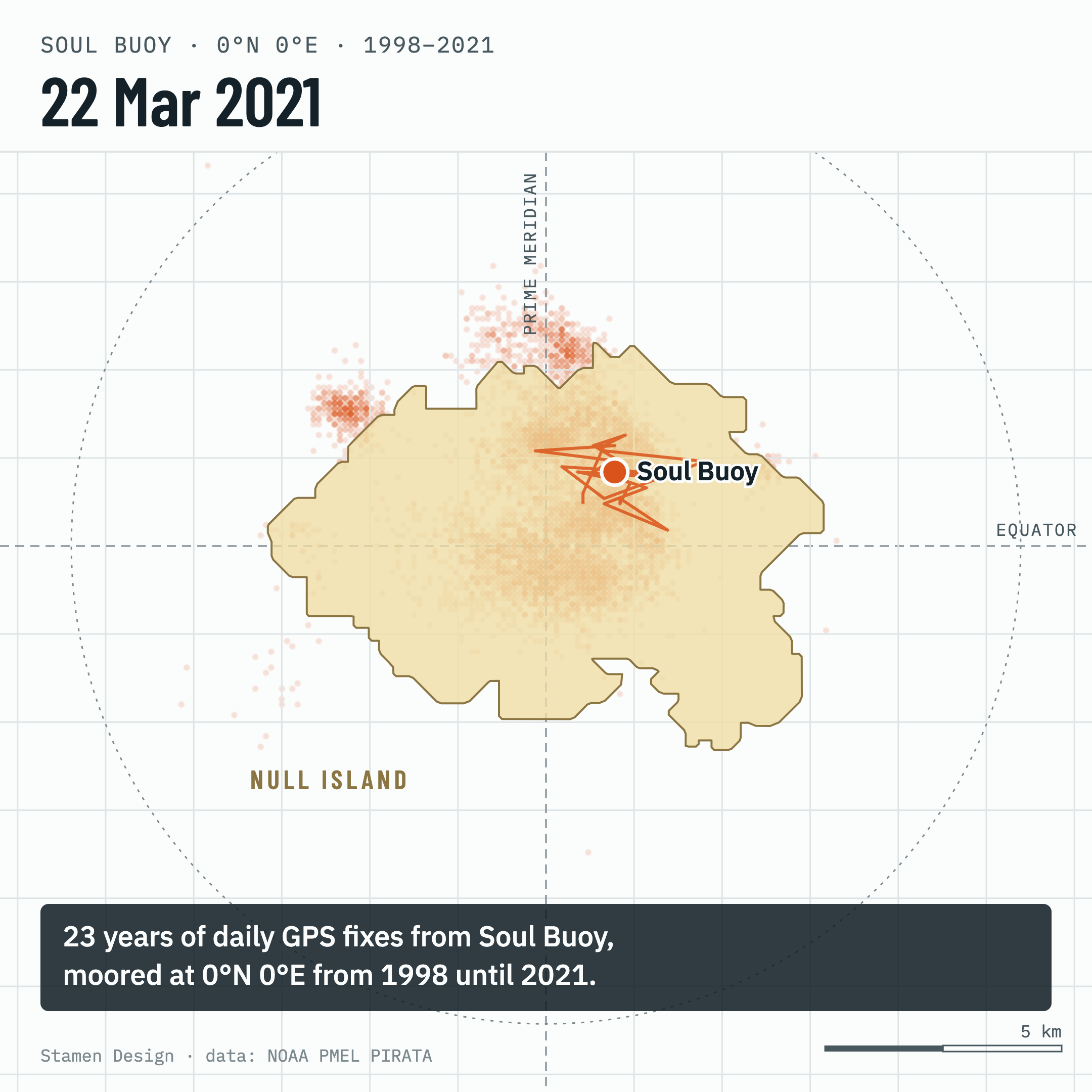
• Soul, a NOAA weather buoy moored at 0°N 0°E from 1998 to 2021. In 2021 a widened piracy zone pushed the mooring 300 km west.
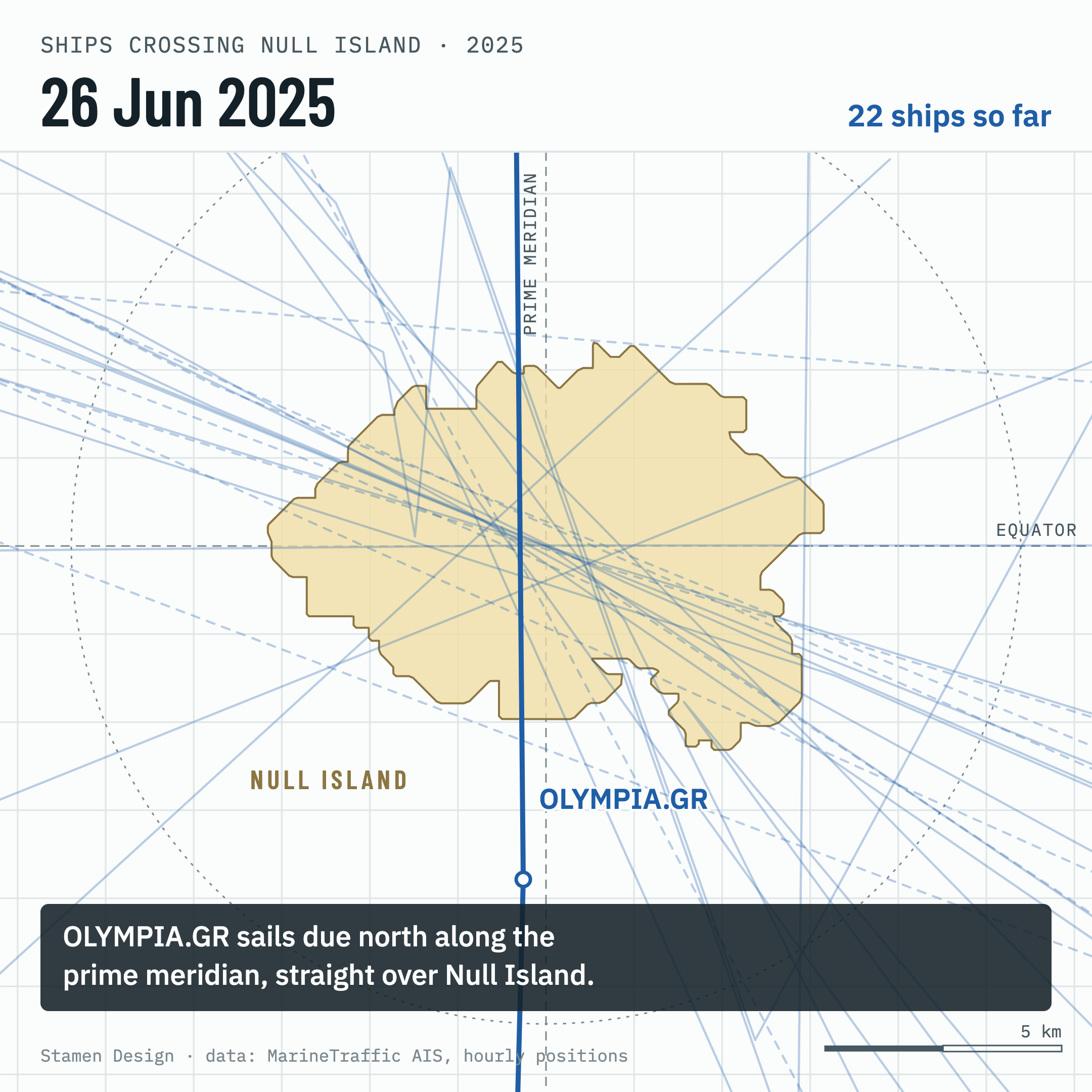
• Ships visit too. In 2024 & 2025 we tracked 72 crossings with hourly AIS positions, most following a single shipping lane.
Explore our map of Null Island's visitors: https://stamen.github.io/null-island-visitors/
4 media files

@alan looks and reads like LLM output :(
no thanks