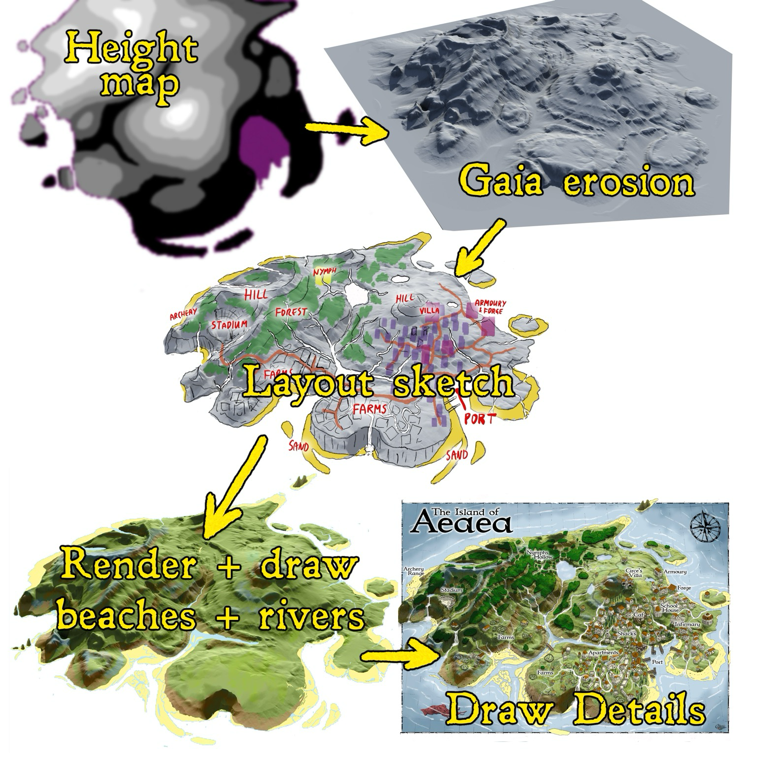
A few details on the process for the island map. I started by sketching a greyscale height-map, which doesn’t need to be super precise because Gaea is then used to make my height-map look like a realistic landscape. It does this by letting you erode the landscape by carving river valleys and modelling the movement of sediments. This is a nice balance, I can creatively control the overall shape, but benefit from physics simulation to give me realism. #mapping #ttrpg #cartography #dndmap
0 Boosts
1 Like
No replies yet
Be the first to share your thoughts.