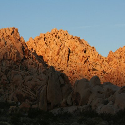

BBC: More young hikers lost using Google Maps, say rescuers
h/t @researchbuzz
BBC: More young hikers lost using Google Maps, say rescuers
h/t @researchbuzz
@ai6yr On just regular public right-of-way walks in rural England (no mountains, snow, etc) I've found OpenStreetMap on my phone to be very useful. The maps are downloaded onto the phone before the walk, and navigation works quite well.
Google Maps were actually next to useless for navigating public right-of-way walks when we were in south-east and south-west England.
@ai6yr @researchbuzz But they need to be taught how to read paper maps.
So many times I got, but I've got that on my phone. Until I go them lost on purpose in the middle of nowhere, THEN it dawns on them :)
@ai6yr Incredible
> Archer said: "I know some people worry they don't know how to use a compass, but the main thing to remember is that the red end of the needle always points north."
@ai6yr @researchbuzz Strange that they don't mention the phrase "topographic map" in the article. Google does have a terrain mode, but we always use a separate topo map app and will print pages from it as backup.






"...Anstee, who lives in Windermere, said the app's "familiarity and reliability in everyday settings may create an assumption that it is equally suitable for the mountains", without full appreciation of what the terrain demands....."
#SearchAndRescue #Mapping #Maps #apps