

🖨️ Ever wanted your favourite mountains on your desk?
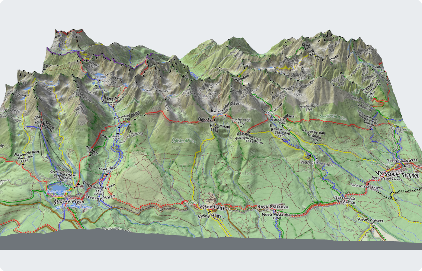
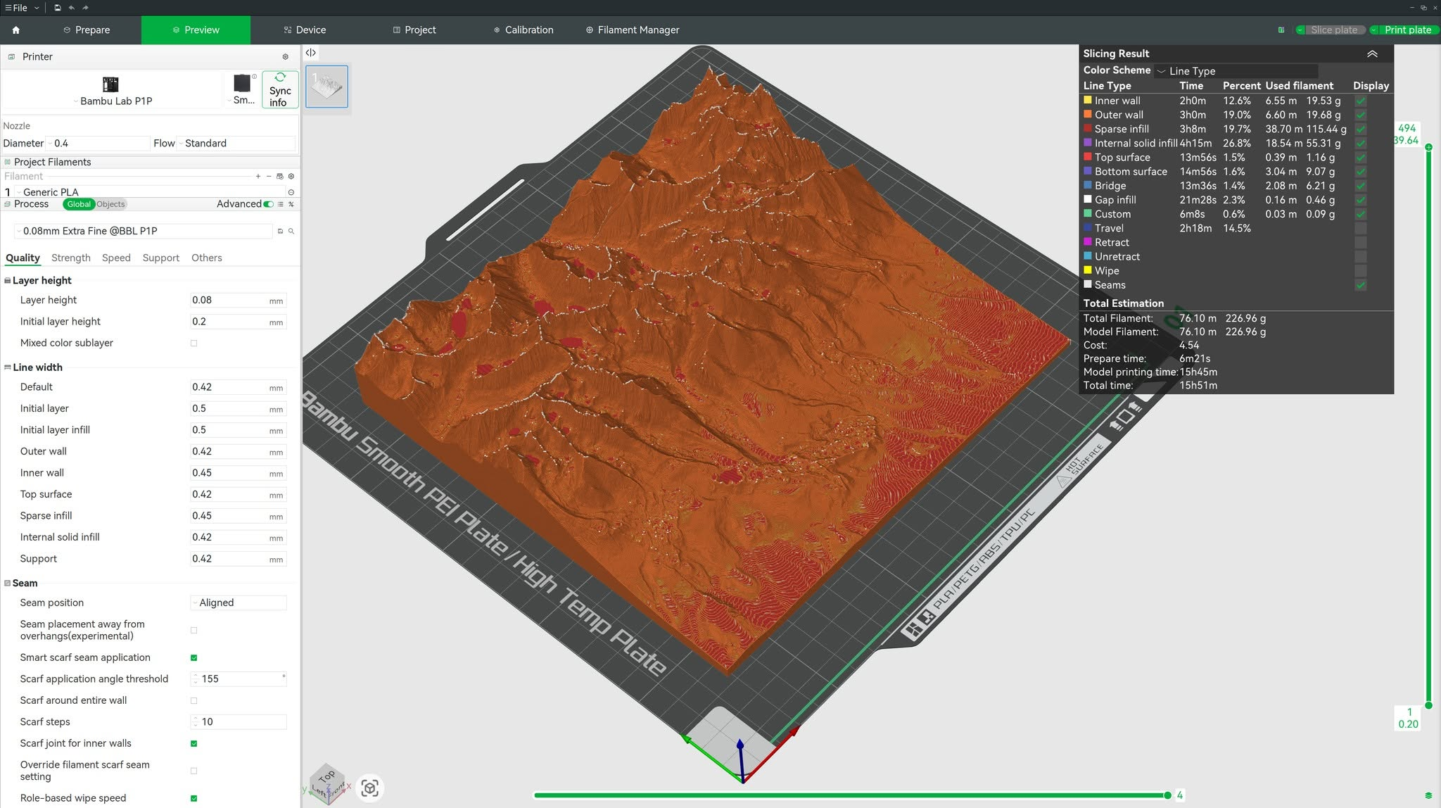
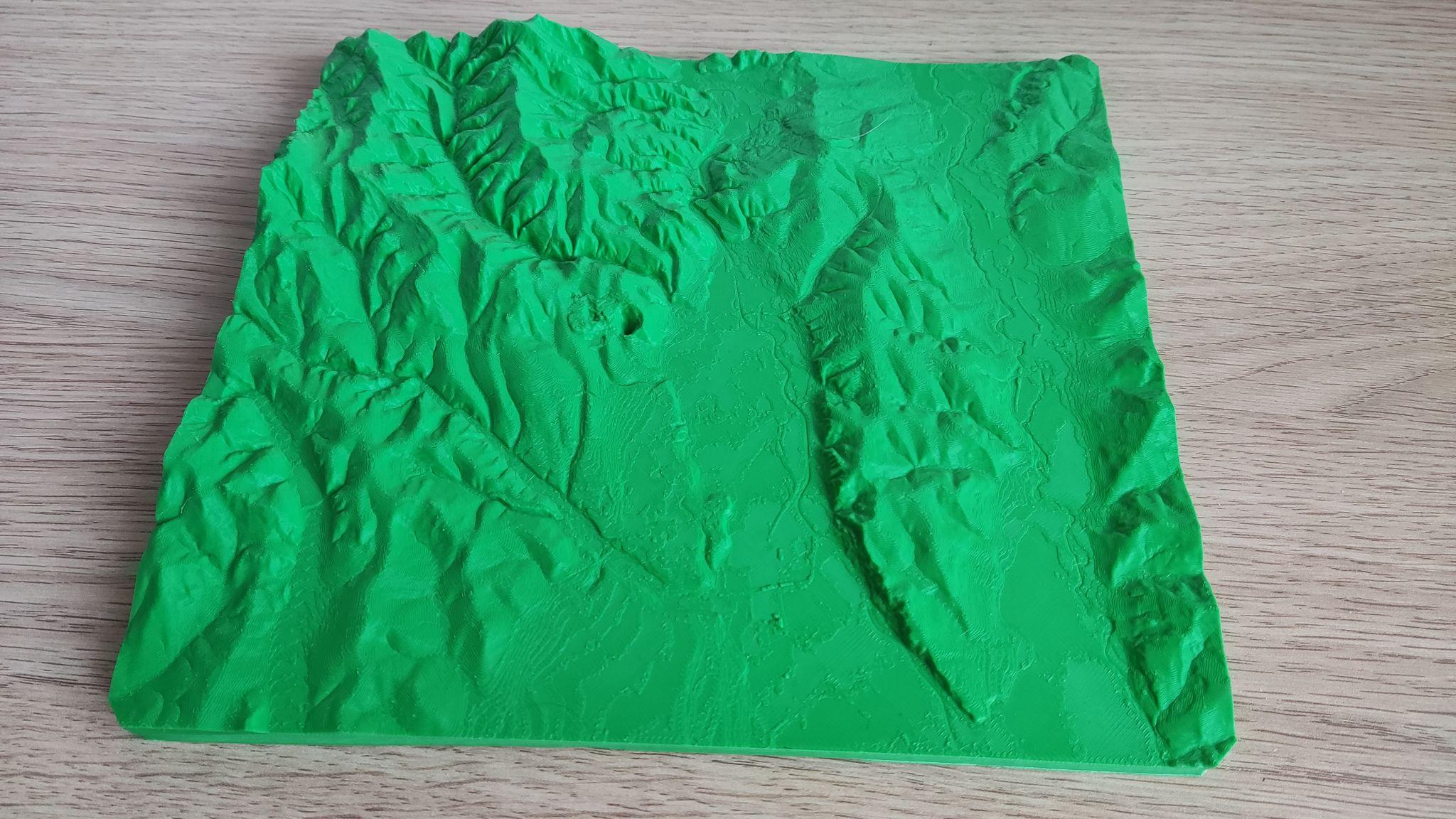
Freemap now turns any area of the map into a 3D-printable STL model:
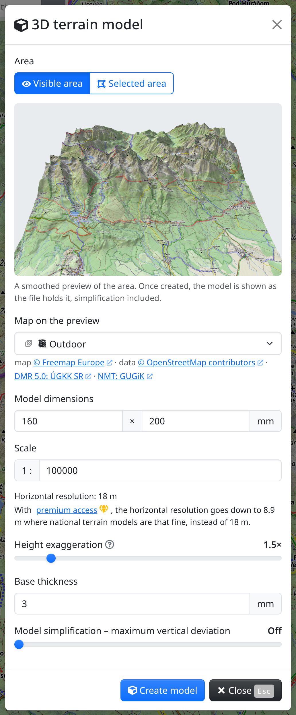
🗺️ the visible or a marked area, in mm or to scale, heights exaggerated if you like
🏔️ a 3D preview to check it, draped with the hiking map or aerial imagery
📐 heights from the national terrain models behind the shading – sub-metre LiDAR with premium
Experimental – we'd love to see your prints!
https://www.freemap.eu/#map=13/49.1650/20.1250&layers=X&show=terrain-model
4 media files



@FreemapSlovakia Once I did this with #qgis as a gift for a friend. Whole national park in 1:50.000 scale. It took two kilogram of filament over 30+ tiles but was worth it. I wish I had the finished models picture.
Good thar you made this easy for people to implement. My only wish that I can do color peints with paths and pois at some time.
#osm #openstreetmap