

Normally in #geoweirdness we look at disputed territories, but this week we thought we'd take things in the opposite direction:
Join us as we consider "Terra nullis" or territories claimed by no one.
https://en.wikipedia.org/wiki/Terra_nullius
1/
Discussion
Normally in #geoweirdness we look at disputed territories, but this week we thought we'd take things in the opposite direction:
Join us as we consider "Terra nullis" or territories claimed by no one.
https://en.wikipedia.org/wiki/Terra_nullius
1/
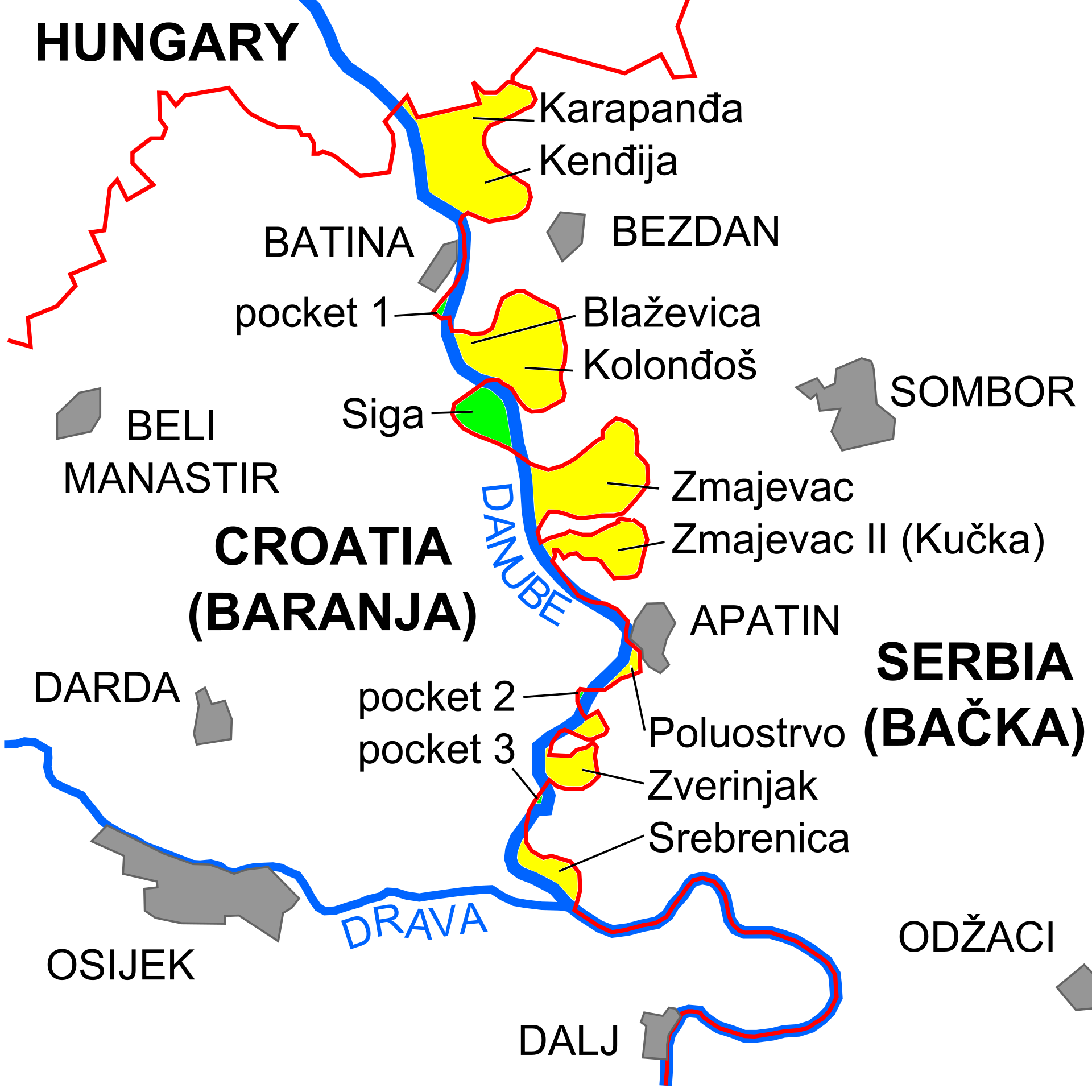
3/ The exact same mechanism plays out in Europe too. Croatia 🇭🇷 and Serbia 🇷🇸 disagree about where their Danube border actually sits, each preferring the line that leaves them the larger share, which strands a strip called Gornja Siga (green) claimed by neither.
In 2015 a 🇨🇿 Czech politician declared it the Free Republic of Liberland. Croatia has blocked entry to the site ever since, without ever actually claiming the land itself.
https://en.wikipedia.org/wiki/Liberland
4/ Sometimes countries agree to split the difference:
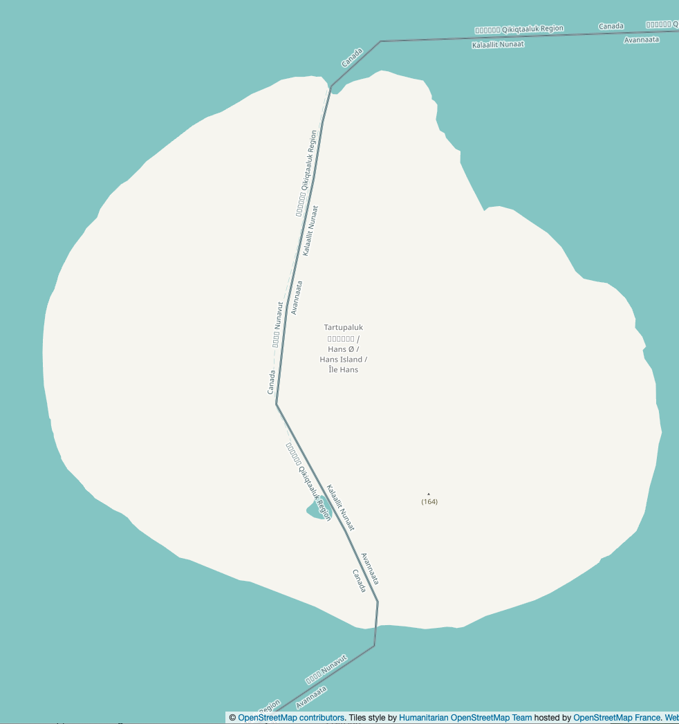
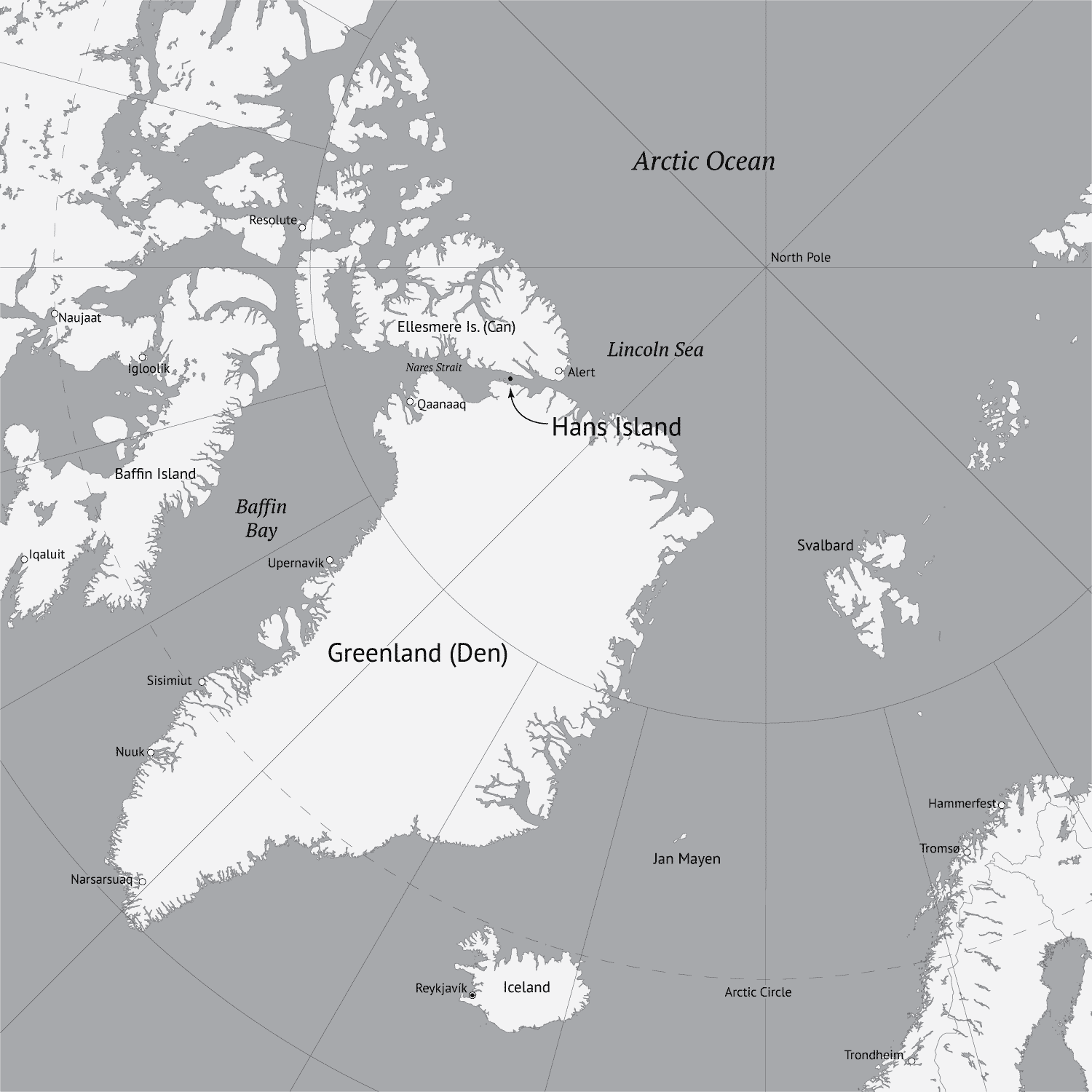
Canada 🇨🇦 and Denmark 🇩🇰 fought over frozen Hans Island for almost 50 years, if you can call it fighting: each side would plant a flag and leave a bottle of liquor, Canadian whisky or Danish schnapps, for the other to find.
https://en.wikipedia.org/wiki/Whisky_War
n 2022 they finally split the island along a natural ridge, creating Canada's first land border with anywhere other than the US 🇺🇸.
5/ There are other creative solutions.
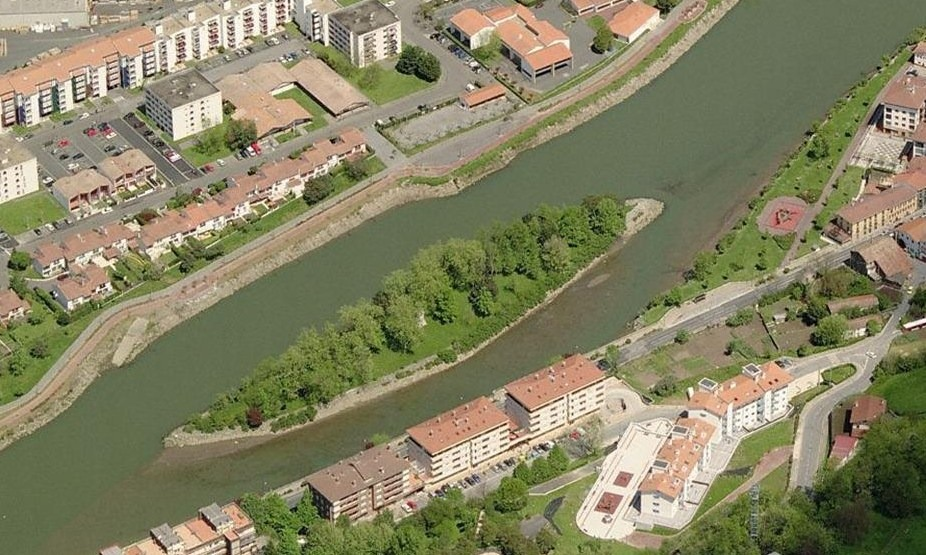
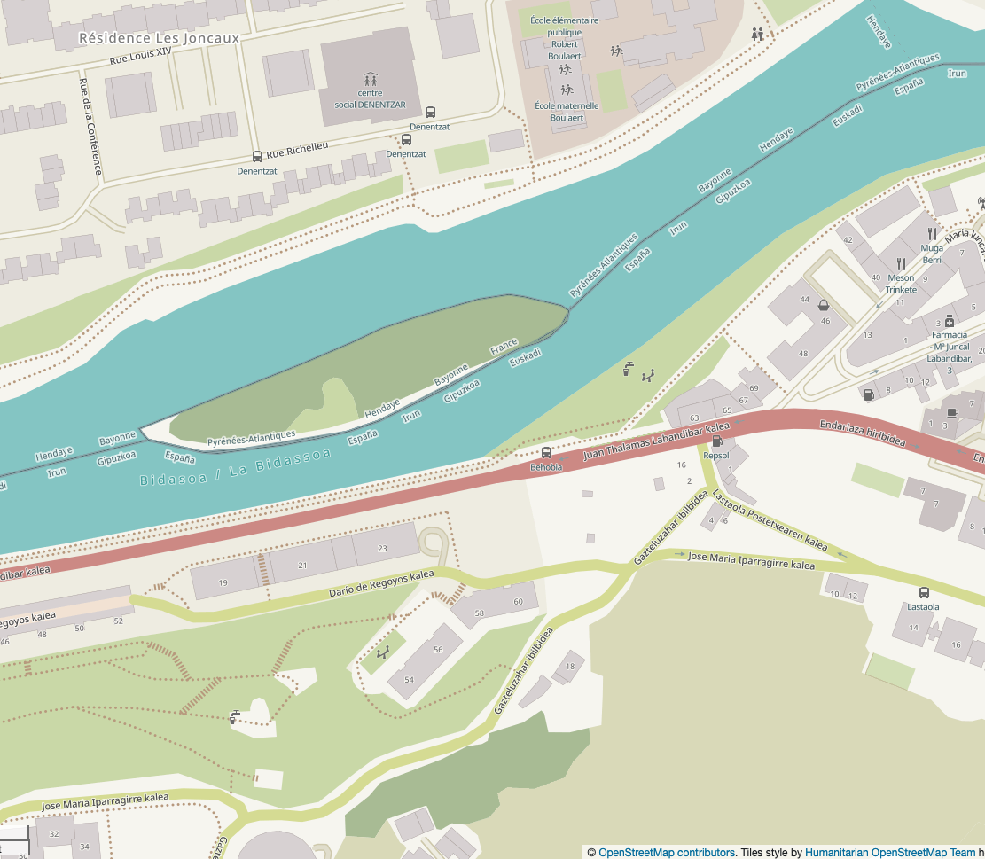
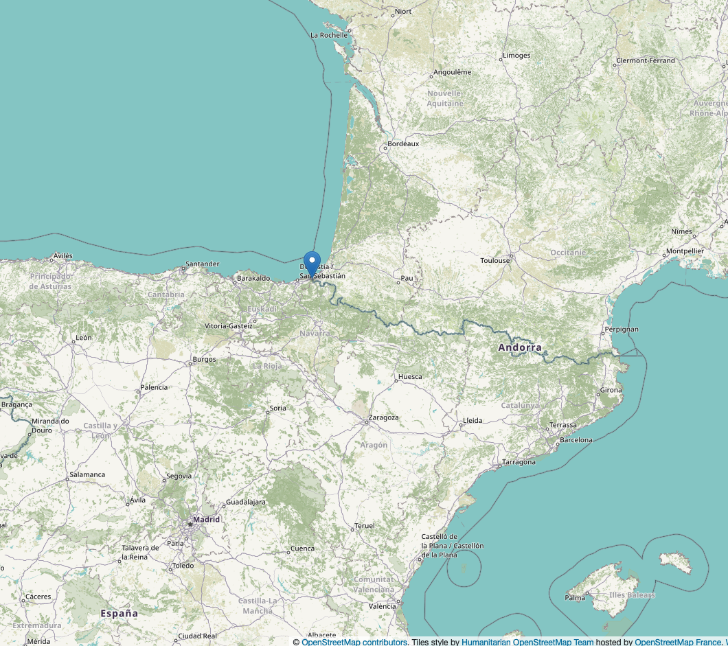
Pheasant Island, in a river between France 🇫🇷 and Spain 🇪🇸, never picked a side at all. Since a 1659 treaty, the two countries have alternated full sovereignty over it every six months, swapping flags in a formal ceremony each February and August. It's now happened more than 700 times.
6/ Sometimes claimed land simply doesnt exist.
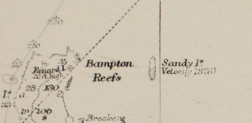
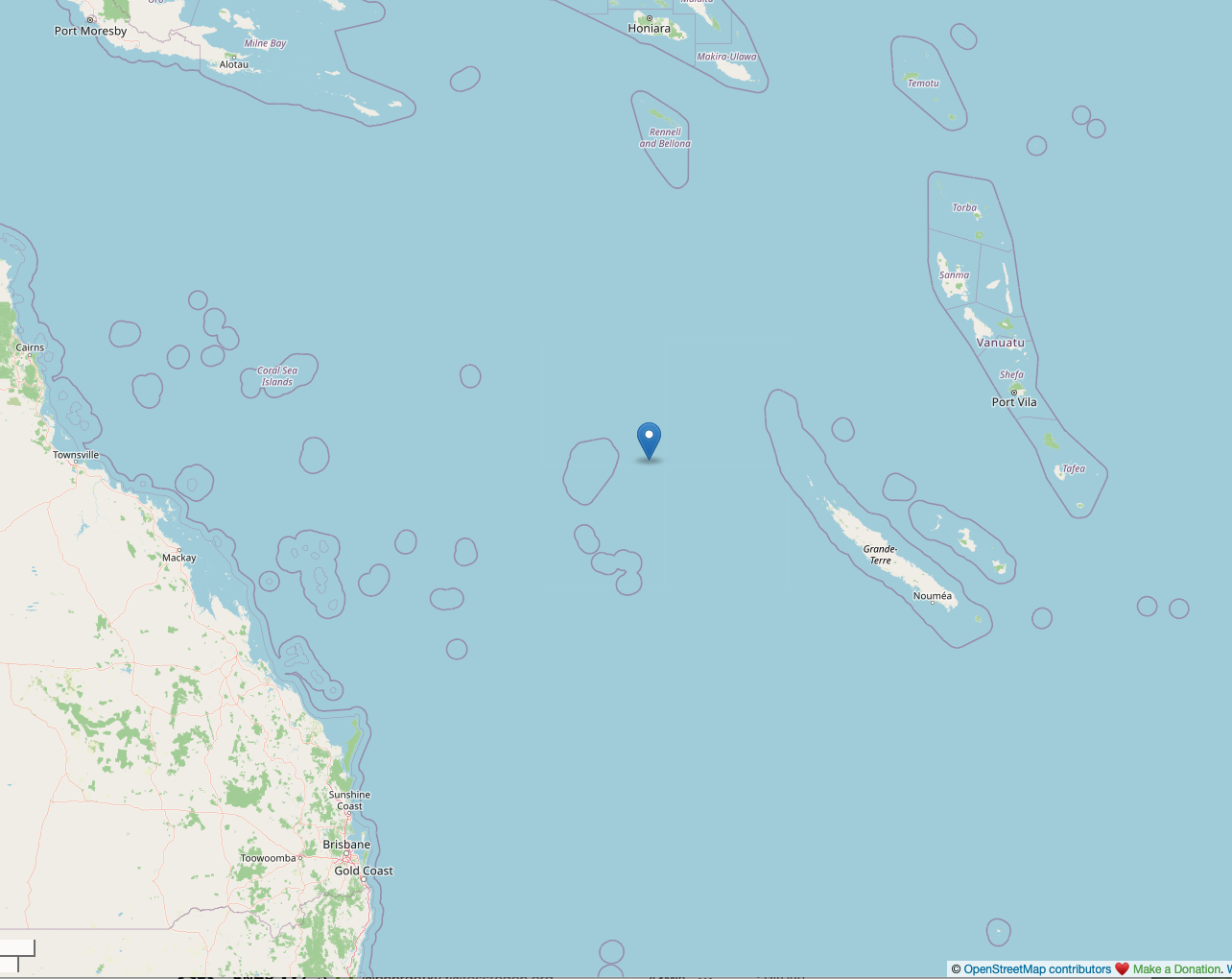
Sandy Island sat on maps, nautical charts, and even Google Earth for over 130 years, first logged by a whaling ship in 1876.
https://en.wikipedia.org/wiki/Sandy_Island,_New_Caledonia
When 🇦🇺 Australian scientists sailed to its exact coordinates in 2012, they found 1,400 meters of open ocean instead. It simply never existed.
7/ Sometimes "no man's land" is intentional
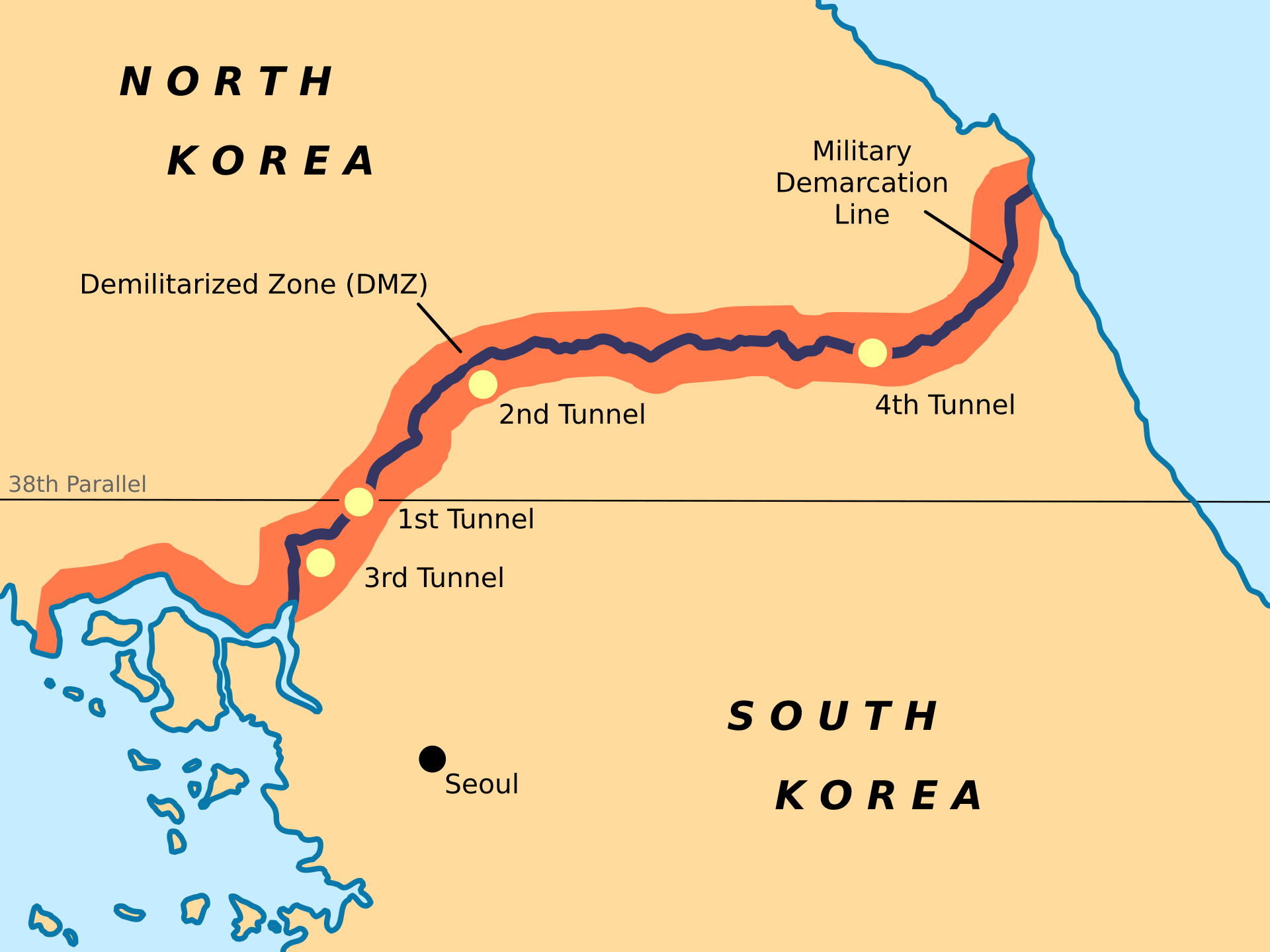
The Korean 🇰🇷🇰🇵 Demilitarized Zone (DMZ) is the opposite of Bir Tawil: a no-man's-land created on purpose, 250 km long and about 4 km wide, mined and fenced to keep both sides out.
https://en.wikipedia.org/wiki/Korean_Demilitarized_Zone
Nobody has been allowed to live there since 1953, and in that vacuum it has quietly become one of the most biodiverse wildlife sanctuaries in Asia, home to over 5,000 species including cranes found almost nowhere else.
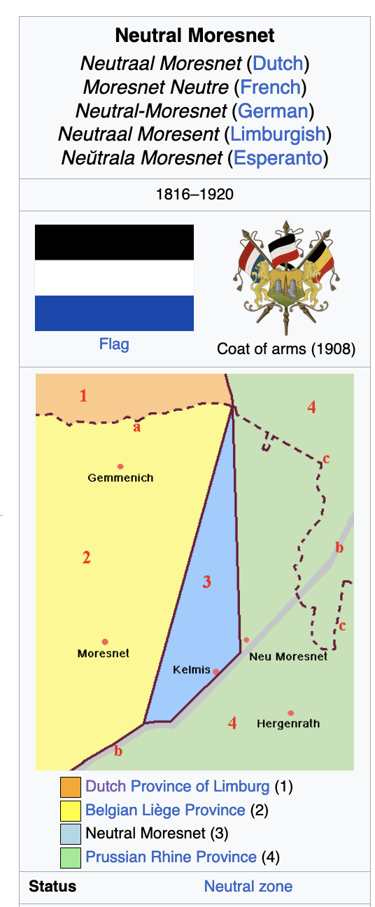
8/ History provides even weirder examples - From 1816 until 1920 there was a tiny (3,5 km²), wedge-shaped, neutral territory between Belgium 🇧🇪 and Germany 🇩🇪 known as Neutral Moresnet, and there was an attempt to make it the world's first Esperanto‑speaking state.








2/ Our first example is Bir Tawil, is a stretch of desert on the Egypt 🇪🇬 Sudan 🇸🇩 border, intentionally unclaimed by both countries.
Each wants the far more valuable nearby Hala'ib Triangle, and claiming Bir Tawil under either border line would mean giving that up instead.
https://en.wikipedia.org/wiki/Bir_Tawil
Over the years there have been various unsuccessful attempts by individuals to claim ownership:
https://en.wikipedia.org/wiki/Attempts_to_claim_Bir_Tawil_as_a_sovereign_state
#geoweirdness
Attempts to claim Bir Tawil as a sovereign state
Bir Tawil