

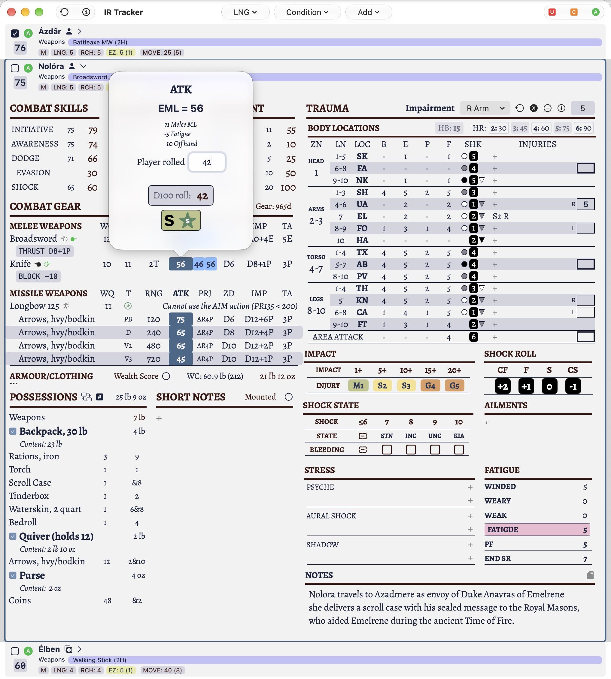
Since I've recently implemented a VTT in Star Systems and it's fresh in my mind, I am now adapting the same concept into another of my apps called HMK Toolkit. The VTT in this has different requirements but a lot is transposable.
0 Boosts
0 Likes
@marcueberall This is just the beginning! 😉


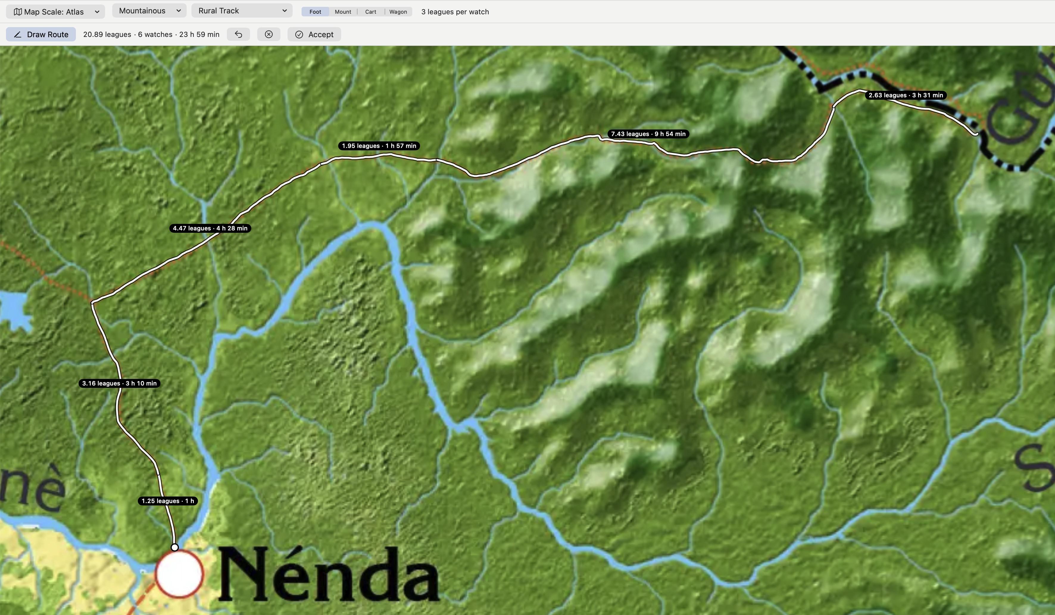
@marcueberall Here’s an example and something that's been bugging me for 40 years with Hârn maps. You have great maps but figuring out travel times with the topography, terrain, and the various transportation methods (foot, horse, cart, etc.) is not so easy. Now you set the parameters and draw on the map. When the parameters change, say from flat to hilly, start a new segment with these parameters and continue. (1/2)
@hexaedre that looks great! and ... oh i feel you. when i did the travelling in my solo campaign, i had to use the ruler of the leaflet plugin. it worked ... but ... nah! but i recently am very very spoiled. i told you of the das schwarze auge (en: dark eye, fr: l'œil noir) a while back. this behemoth with the bazillion publications... there is a travel companion now.
@hexaedre this is soooo good! it includes the weather, flora and fauna on the way, even holidays and historical and/or current events of the regions you are travelling through. probably you could find one or two inspirations for your project.
https://avesmaps.de/#x=519.240&y=499.050&z=3.41&series=modern&view=standard&layer=alle
@marcueberall That looks awesome! I will take a closer look. I might steal a couple of things :)
@hexaedre you can also switch to french and english ... forgot to mention that

@hexaedre and i was about to ask if you consider hmk toolkit feature complete. 😀